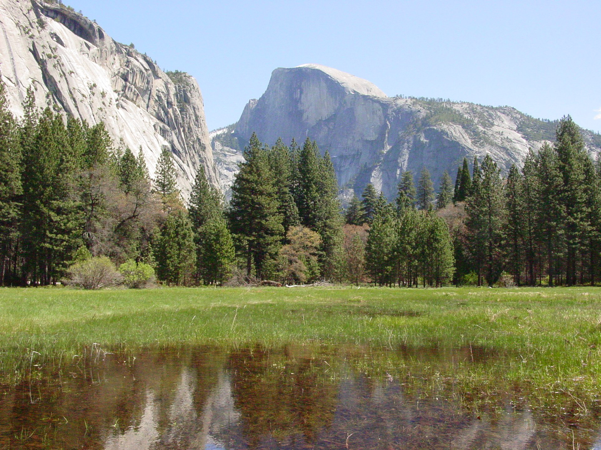
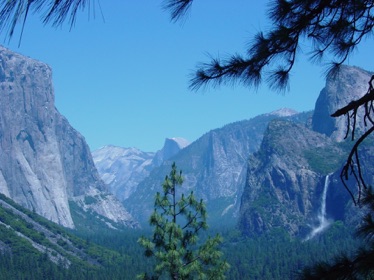
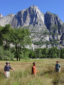
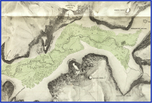
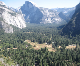
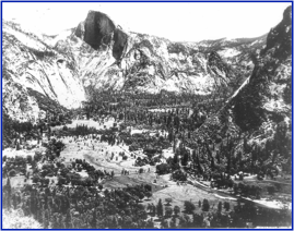
Maps and photos of Yosemite valley from the middle to late 1800s indicate that the valley was a large meadow complex. However, ditching, fire suppression, stream channelization through numerous bridges, underground utilities, and other disturbances allowed meadows to dry and conifer trees to encroach. The map above was created by Whitney in 1868 and shows large meadows. The black and white photo above from 1899 shows ditches, roads, and conifer encroachment. The color photo above, taken in 2006 shows nearly complete cover of the valley by conifer trees. We worked for two years to identify former meadow areas, identify the major hydrologic processes that supported the meadows and developed a set of restoration goals and targets. These data are presented in the attached report.