Site Description
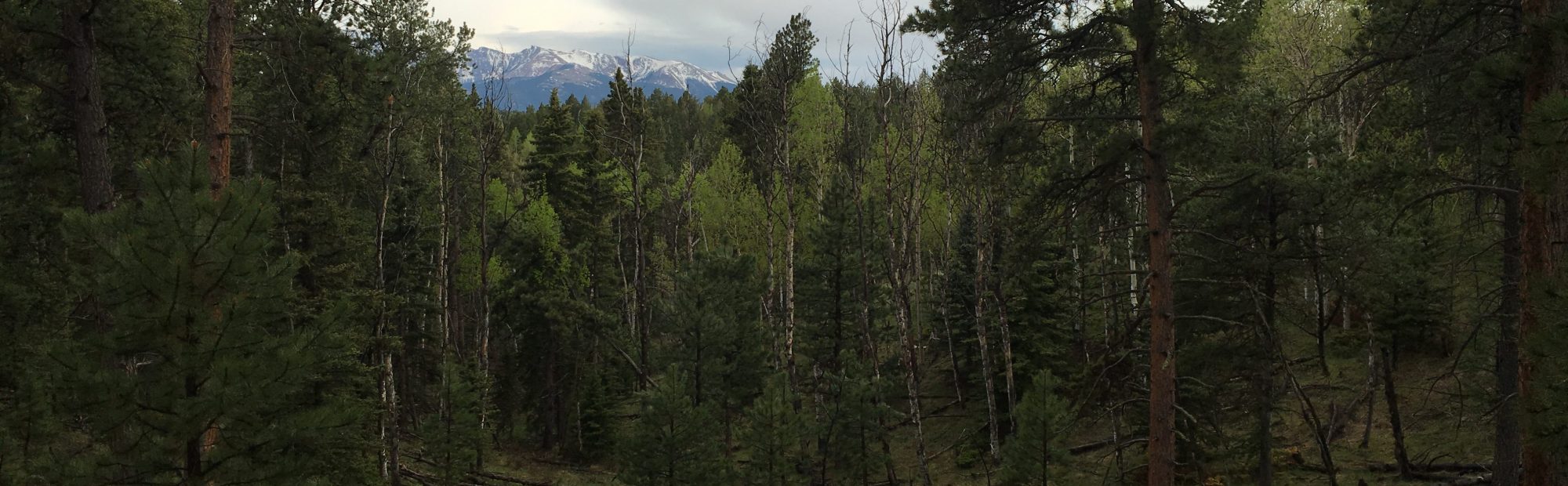
The PFDP is 17.6 ha (440×400 m), located approximately 4.5 km northeast of Woodland Park, CO within montane dry and mesic mixed conifer forests of the Rampart Range, under the administration of the Pikes Peak Ranger District of the Pike and San Isabel National Forest (Figure 1). Currently, the site is being prepared for a variable retention restoration treatment that will seek a similar set of ecological, hazard reduction, and spatial arrangement objectives seen throughout the region. The site ranges in elevation from 2,795-2,830 m and has a mean temperatures between -4.2° C in February and 14.1° C in August with a dry continental climate receiving 579 mm of precipitation per year, mostly occurring as spring (March-May) rain snow events and summer (July-August) monsoonal storms.
Monitoring Approach
High precision reference locations were established along the site perimeter using a Topcon Hyper-Ga real-time kinetic global positioning system. From the reference locations, a Pentax PCS-515 laser total station was geolocated and referenced to true north and used to establish a square 20×20 m set of grid cells across the 17.6 ha site. These grid cells were then used for locating all overstory trees and sampling locations.
Within each grid cell, all trees >1.37 m tall with a DBH > 1 cm had their species, diameter at breast height (DBH), total height, and crown base height recorded. All mapping and measurement standards were adopted from a broader global network of forest dynamics plots (Anderson-Teixeira et al. 2015). A total of 18,556 trees including ponderosa pine (PIPO), Engelmann spruce (PIEN), quaking aspen (POTR5), ponderosa pine (PIPO), Douglas-fir (PSMEG), blue spruce (PIPU), and limber pine (PIFL2) were inventoried for the stem map (Figure 3).

Figure 1. Location of the PFDP within the Rampart Range outside of Woodland Park, CO.

Figure 2. NAIP imagery of the PFDP with a 5 m contour line overlay.
To quantify forest regeneration, trees <1.37 m tall were sampled using 391 – 5×5 m square plots. These plots were assigned using a randomized clustering design within each grid cell ranging from zero to four sub-plots per grid cell (Figure 4). While understory plant community assemblages were sampled on 455 – 1 m2 square plots using a similar randomized clustering design ranging from zero to five sub-plots per grid cell (Figure 4).
Down dead woody fuel was sampled using methods where the sampling unit was sized to match documented spatial autocorrelation length scales for fine woody fuels (i.e. <7.64 cm diameter) and coarse woody fuels (i.e. >7.64 cm diameter). To achieve this, fine woody fuels were estimated on the 455 1 m2 sampling locations using the photoload technique (Keane and Dickinson 2007) to produce fuel loading estimates for each fine woody fuel component (i.e. 0-0.64, 0.64-2.54, and 2.54-7.64 cm diameters). To improve the accuracy of these visual estimates, 60 double sampling (i.e. visual and destructive) plots were located along the perimeter of PFDP for regression correction of the bias inherent to visual estimates (Tinkham et al. 2016). While coarse woody fuels were sampled utilizing a blocked 60×60 m line intercept design (Brown 1974) with a total of 289.68 m of transect in each block (e.g. 805 m ha-1).
Finally, litter and duff depth were measured at three points on each 1 m2 sampling locations, with 30 litter and duff bulk density samples located around the perimeter of the PFDP. These bulk densities were averaged by cover type and assigned to each of the 455 litter and duff depth observations to convert to fuel loading.

Figure 3. PFDP stem map of all trees ≥ 1 cm DBH, colored by species.

Figure 4. Lay out of subsampling locations were the large squares represent the 20×20 m grid cells, 5×5 m plots used for characterizing tree regeneration are shown as hollow black squares, and 1×1 m plots used for photoload fuel loading estimation and understory species composition analysis are shown as solid red squares.