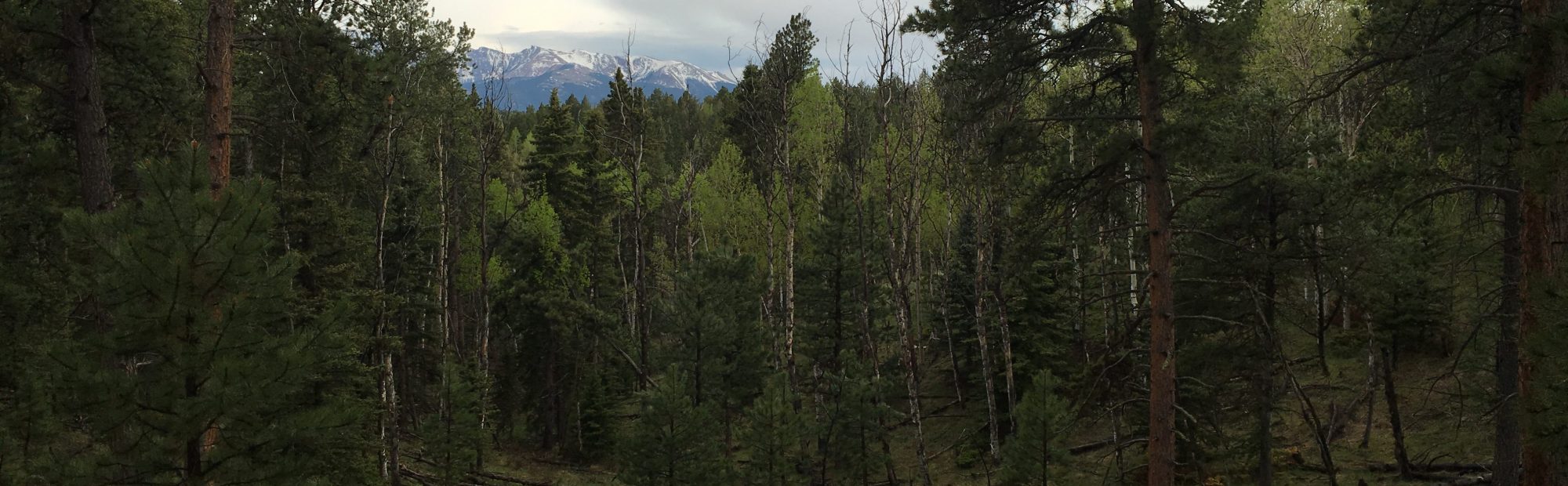
The Pikes Peak Forest Dynamics Plot (PFDP) is a long-term research and education endeavor aiming to improve forest management and restoration strategies within the Rocky Mountains. The PFDP is located on the Pikes Peak Ranger District of the Pike/San Isabel National Forest , just west of Colorado Springs, CO and was established in collaboration between Colorado State University, USDA Forest Service Rocky Mountain Research Station, and the Pikes Peak Ranger District in the summer of 2016. The selected site captures a range of common forest types found throughout Colorado including ponderosa pine dominated dry-mixed conifer system on southern aspects and mesic-mixed conifer system on northern aspects that include Engelmann spruce and limber pine. The site is 17.6 ha, with all trees > 1 cm at breast height (1.37 m) mapped and inventoried for common forest metrics. Additionally, extensive botany, fuels, and regeneration sampling have been conducted in the understory. Currently, a prescription is under development to restore the historic spatial structure and associated ecological functions of the site. Following treatment, the site will be re-inventoried on a regular basis into the future.
Research Objectives
Forest Dynamics
In an ecosystem management approach, where forests are managed for multiple resource benefits, forests are viewed as complex adaptive systems, where forest function and structure vary spatially and are neither completely predictable nor completely random. Emerging management strategies focused on fine-scale forest structures and function will require an improved understanding of how forest dynamics are shifting across a range of spatial scales and how management is impacting associated forest dynamics.
Management Implications
Management has always played a significant role as a disturbance agent within the dry-mixed conifer systems of the Rocky Mountains. These ecosystems are located at an important interface with areas of urban development which create many unique management challenges. To advance the management of these systems we must improve our understanding of how forest management strategies will impact fire hazard, biodiversity, and development trajectories.
Remote Sensing
Remotely sensed data are increasingly looked to extend traditional forest inventory techniques across space and time, and is also an effective tool to support the ever increasing data need of forest managers. The high-precision, high-resolution of data collected within the PFDP lends itself perfectly to evaluating existing techniques and validating new remote sensing approaches focused on the characterization of forest composition, structure, and function.
Inventory and Monitoring
As society places greater demands on our natural resources, managers are increasingly challenged to balance the stewardship of multiple-resources across varying spatial and temporal scales. To meet this demand, managers require datasets that enable interpretation of management effectiveness with sufficient resolution to inform adaptive management.


Ecology and Biodiversity
As climate change continues to shift weather patterns, the resilience of different forest vegetation will be challenged to adapt and maintain its ecological function. The location of the PFDP at the elevational interface of dry-mixed conifer and mesic-mixed conifer forests will contribute to understanding how these widespread forest systems will be impacted by climate change. The spatially oriented overstory and understory sampling will reveal new insights to plant community assemblages.
Site and Data Access
The PFDP was established to advance the research and management of mixed-montane forests of the southern Rocky Mountains, because of this we strive to make the data from the PFDP accessible to as diverse an audience as possible. Since the project is still early in its establishment, most efforts are focused on fostering collaborations that can lead to new and innovative uses for the data. In order to advance efforts at the site, collaboration that contributes to the collection of base site parameters will receive priority. Contact one of the Co-PIs to discuss site and data access, but general details can be found here.
Acknowledgements
This effort would not of come to fruition without the collaboration of Jeff Underhill, USDA Forest Service Region 2 Silviculturist, and the dedicated personnel of the Pikes Peak Ranger District. Additionally, funding from the McIntire-Stennis Program made this project a reality.