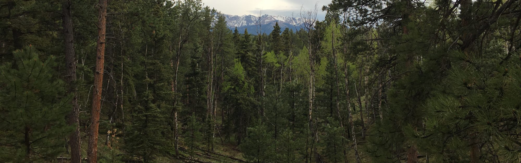
Forest Dynamics Modeling
Current monitoring in natural resource management either limits or completely ignores spatial variability controls on ecosystem processes when designing sampling protocols, this oversight has limited our advances in ecosystem process understanding. To advance our inventory and monitoring of natural resources, my research develops techniques to characterize and simulate forest environments at high precision and resolution across multiple scales. This research includes exploring how spatial and temporal patterns of forest regeneration and structural metrics develop to influence ecological processes like the long-term susceptibility of forests to crown fire behavior. Findings of this work highlight knowledge gaps on how the quality and quantity of inventory data impact our ability to model the complex processes impacting treatment longevity in forest growth and yield systems.
Remote Sensing of Vegetation Structure and Function
Despite a growing body of literature and associated management guides that help managers understand how fine-scale forest structures can be managed to achieve desired ecological objectives, implementation of these strategies remains limited due to insufficient resolution in inventory data. To begin closing this data gap, practitioners have looked to remotely sensed data to augment traditional inventories, and ultimately provide forest inventory observations with high spatial resolutions. Our lab is investigating how low cost drone-based data acquisition parameters impact the accuracy of photogrammetry extracted individual tree and plot based metrics.
Fire Effects Monitoring
Prescribed fire is receiving increased interest by land managers as a tool for restoration and fire hazard mitigation across Colorado’s lower elevation patchwork of grasslands, shrublands, and woodlands. However, due to its limited recent use in Colorado, there are critical knowledge gaps on the effectiveness of prescribed fires at achieving immediate and short-term management objectives. Among these gaps is a need to understand how the complex arrangement of grasses, shrubs, and trees occurring prior to fire application influences short-term (6 months to 2 years) post-fire vegetation community responses. Recent advances in data repeatability, high spatial resolution (i.e. < 10 cm), spectral discrimination (i.e. light weight multi-spectral cameras), and Structure from Motion photogrammetry for unmanned aerial systems (UAS) is opening a new horizon of remote sensing-based ecological monitoring. This project will develop novel UAS techniques for quantifying prescribed fire effects at individual plants and functional groups scales, and entire plant communities, over time.


